
The earthquake happened ten kilometers beneath the surface. Within 300 kilometers of the epicenter, coastal areas are susceptible to tsunami surges. According to a USGS statement, an earthquake with a magnitude of 7.1 occurred on Thursday morning in the Kermadec Islands area. Which is north of New Zealand. The Kermadec Islands lie northeast of the New Zealand capital and measure about 13 square miles. The volcanic island is frequently shaken by tremors, according to The Mirror. At a distance of 10 km, the earthquake occurred. Coastal areas within 300 kilometers of the epicenter may experience dangerous tsunami waves, the agency warns in a second statement.
Due to its location at the meeting point of the Pacific Plate and the Australian Plate, two of the world’s largest tectonic regions, New Zealand is vulnerable to earthquake. It is also close to the Ring of Fire, a region of extremely active earthquakes. New Zealand is shook by hundreds of earthquakes annually.
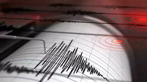
The magnitude of the earthquake, which was 6.4 on the Richter scale, is a good indicator of its severity. Last month’s earthquake in Turkey, which killed more than 50,000 people, had a magnitude of 6.4. The tremors were so strong that thousands of people were hurt and hundreds of structures collapsed.
Only one day prior to the earthquake in New Zealand, an earthquake measuring magnitude 4.7 on the Richter scale occurred 263 km south-southeast of Hotan, China, according to the United States Geological Survey (USGS). Southwest Xinjiang, an autonomous area in Western China, contains the significant oasis town of Hotan.